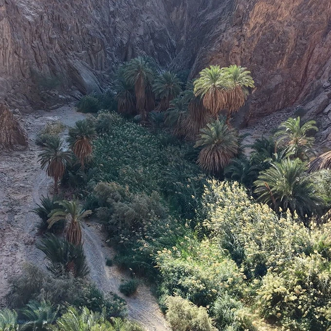
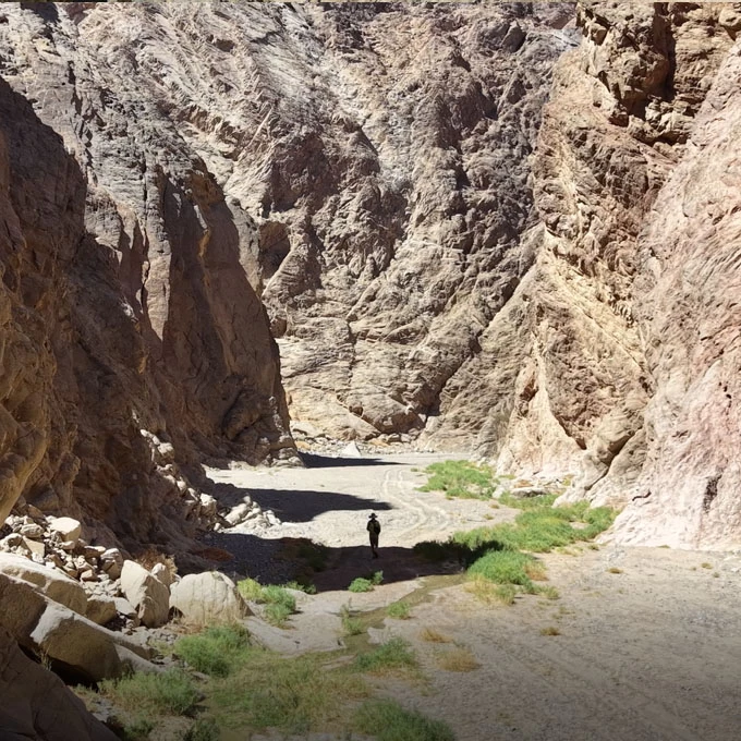
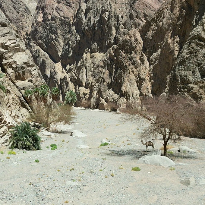
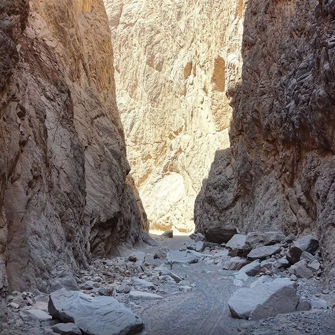
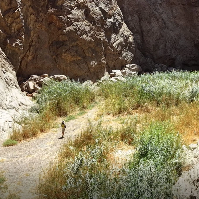
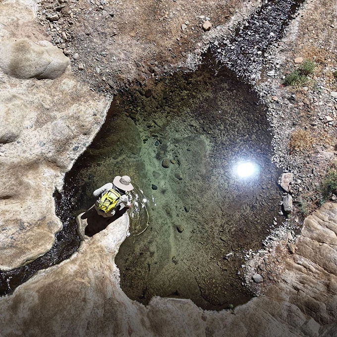
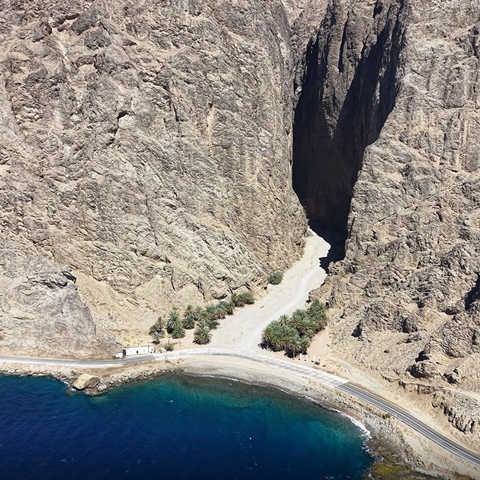
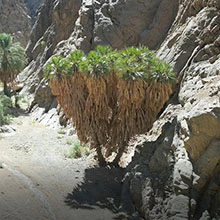
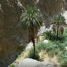
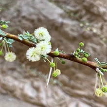
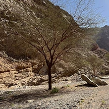
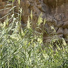
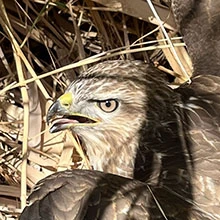
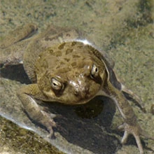
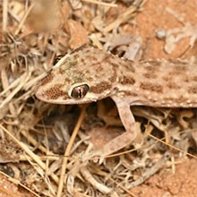
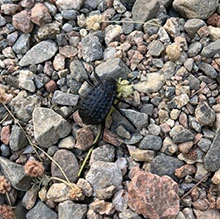
Wadi Tayyib al Ism

Visitor's Guide & Sound Map
Detailed visitor map of Wadi Tayyib al Ism canyon, Saudi Arabia
Download Map
Introduction swipe →
|
The Ten Realms swipe →
Drone view of the gateway to Wadi Tayyib al Ism where the mountains meet the sea
DIST640 m 10 min Elev. 160 m
Aerial photography of the palm groves within the narrow canyon walls of Wadi Tayyib al Ism
DIST300 m 5 min Elev. 140 m
Towering granite cliffs and geological formations of the third realm in Wadi Tayyib al Ism
DIST380 m 6 min Elev. 130 m
Crystal clear water springs flowing through the ancient rocks of Wadi Tayyib al Ism
DIST320 m 5 min Elev. 120 m
Lush vegetation and hanging gardens deep within the Wadi Tayyib al Ism canyon
DIST280 m 4 min Elev. 110 m
Aerial view of the gravel plateau and open desert terrain of Wadi Tayyib al Ism
DIST620 m 9 min Elev. 90 m
Drone photography of the narrow granite passage in Wadi Tayyib al Ism, Saudi Arabia
DIST680 m 10 min Elev. 70 m
Reed beds and wetland habitat in the sheltered canyon of Wadi Tayyib al Ism
DIST720 m 11 min Elev. 50 m
Natural twin rock pools fed by ancient springs in Wadi Tayyib al Ism
DIST630 m 9 min Elev. 20 m
Aerial drone view of the Gulf of Aqaba from the mouth of Wadi Tayyib al Ism
DIST500 m 8 min Elev. 3 m
Wadi Sounds Full library →
Flora swipe →
Fauna swipe →
Editorial swipe →
Share Your Feedback
Map Mission
About the Author
Legal Disclaimer & Terms of Use